The site today
Where the fair stood
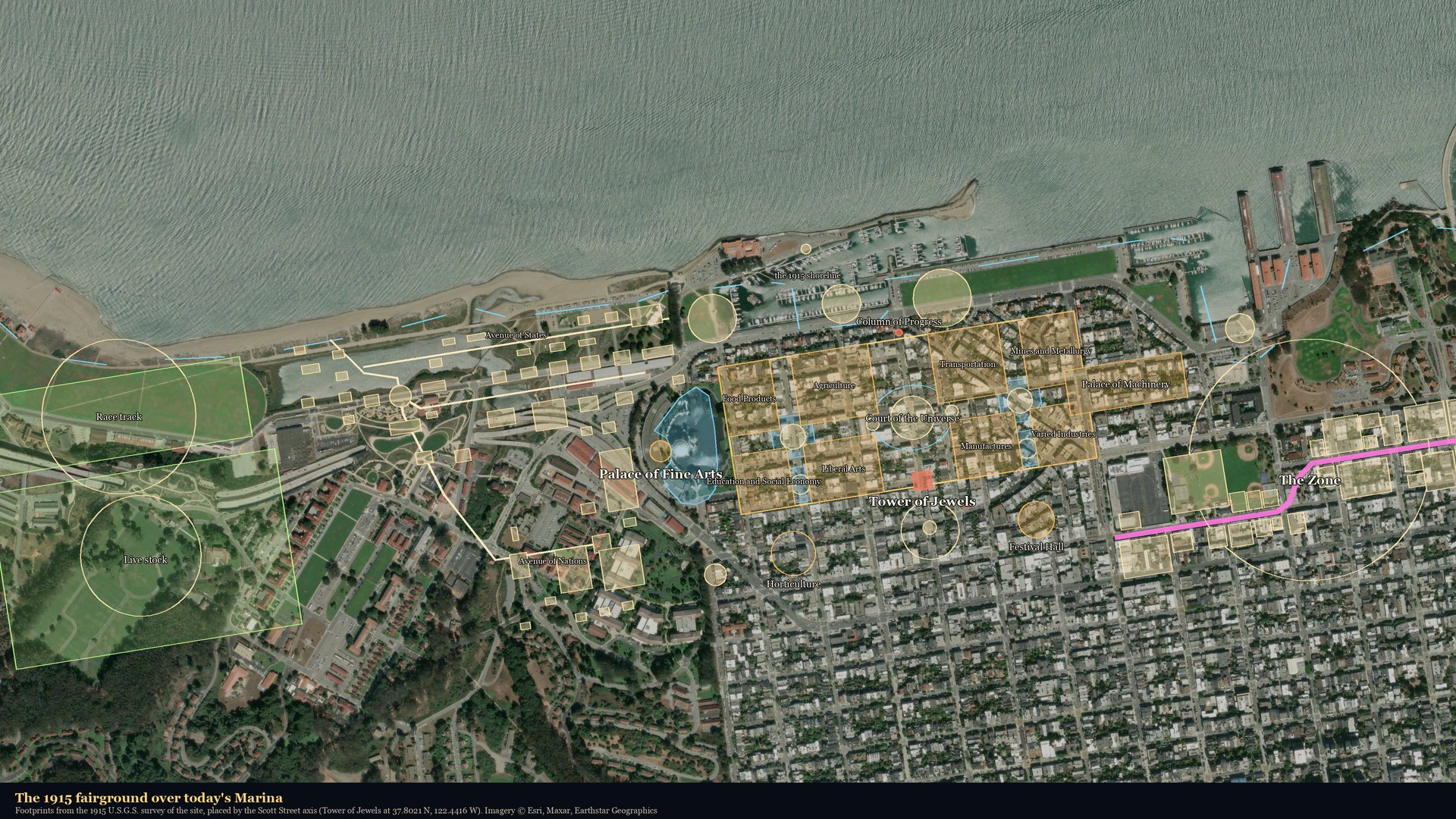
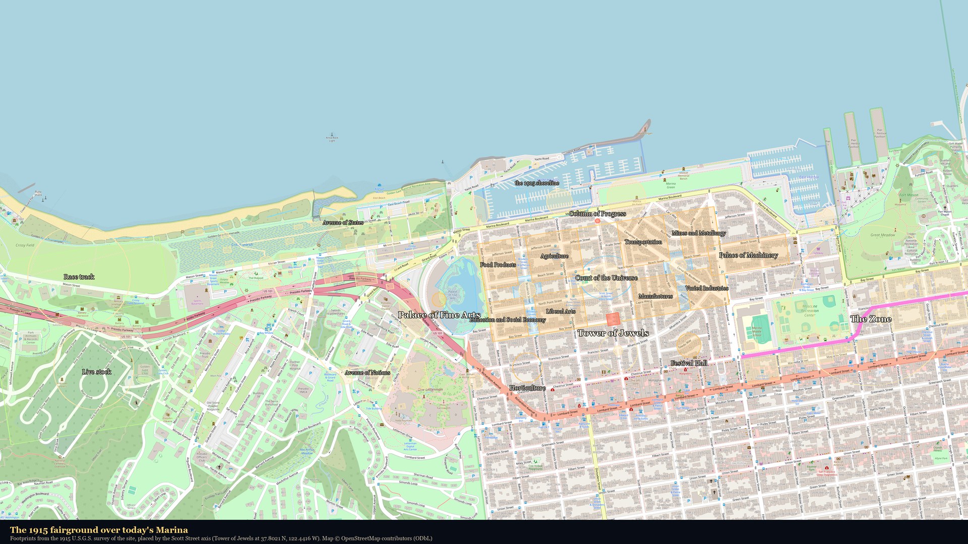
The 1915 fairground laid over today's Marina, block by block: the eight palaces between Baker and Fillmore, the Tower of Jewels over Scott Street, the Zone east of Fillmore, the race track and live-stock pens out on Crissy Field. Switch between satellite and street views; click any outline for its name.
Footprints were measured from the 1915 U.S. Geological Survey map of the site and placed by the Scott Street axis (the Tower of Jewels at 37.8021 N, 122.4416 W); the Western Addition grid runs 9° off true north. Positions are good to a few dozen feet. Imagery © Esri, Maxar, Earthstar Geographics · Map © OpenStreetMap contributors.