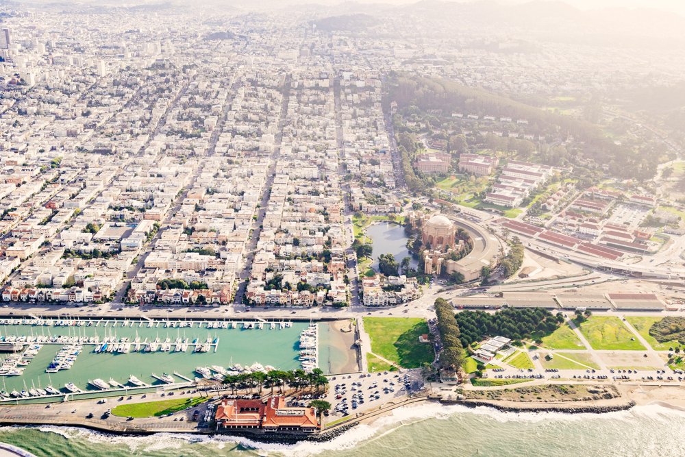
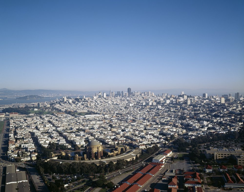
Fifty places to stand in the Marina, the Presidio and the city where something of the 1915 fair happened, with what stood there and how to find the spot. Each has the code the film uses for the shot of it. Start at the top of the Lyon Street steps and end at the Marina Safeway, or pick a group.
Overlooks
S42
Top of the Lyon Street Steps
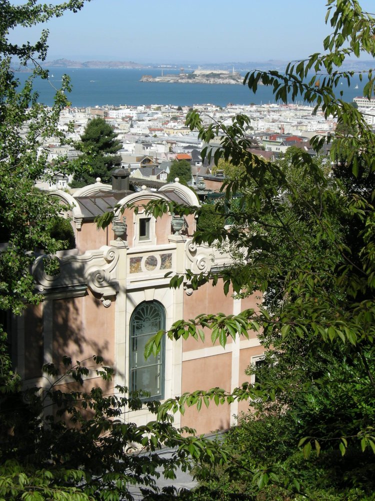
Stand here: Broadway at Lyon, top of the steps, looking straight down Lyon to the palace and the Bay · Open in Maps
The whole west end of the fair lay below this hill: the palace, the lagoon, the state and foreign buildings on the flats.
Then: The Palace of Fine Arts across its lagoon, 1915Today
Stand here: Scott St near Capra Way (about here; other accounts say nearer Chestnut). Shoot from the sidewalk or the crosswalk, looking north down Scott toward the Bay · Open in Maps
The 435-ft Tower of Jewels stood over this intersection, straddling the entrance from the South Gardens into the Court of the Universe. Everything important lay on this line north to the water.
Stand here: Scott St at Chestnut, north-east corner, looking north up Scott · Open in Maps
The Scott Street gate, the fair's main entrance, with the South Gardens and Calder's Fountain of Energy just inside. The Official Guide's streetcar directions ran to 'Scott, to Chestnut'.
Stand here: Scott St between North Point and Beach (about here) · Open in Maps
The center of the fair: the great oval court with the Arches of the Rising and Setting Sun, the Nations of the East and West on top, the Column of Progress framed to the north.
Then: South bay of the Court of the Universe (autochrome)
Stand here: Beach St at Divisadero (about here) · Open in Maps
The Court of the Four Seasons, Henry Bacon's quiet western court. In the 1989 Loma Prieta earthquake this part of the fill liquefied; the Marina's worst damage was on the old fairground.
Stand here: Divisadero St at Chestnut (about here), looking north · Open in Maps
Bakewell & Brown's Palace of Horticulture, with its 186-ft glass dome, closed the west end of the South Gardens. A centennial photo pairing puts it near this corner.
Then: The Palace of Horticulture on a 1915 postcard
Stand here: Pierce St between Chestnut and Francisco (about here), looking west down the line of the gardens · Open in Maps
Festival Hall, the fair's concert hall, stood here at the east end of the South Gardens facing west toward the Fountain of Energy. Its Austin organ went to the Civic Auditorium.
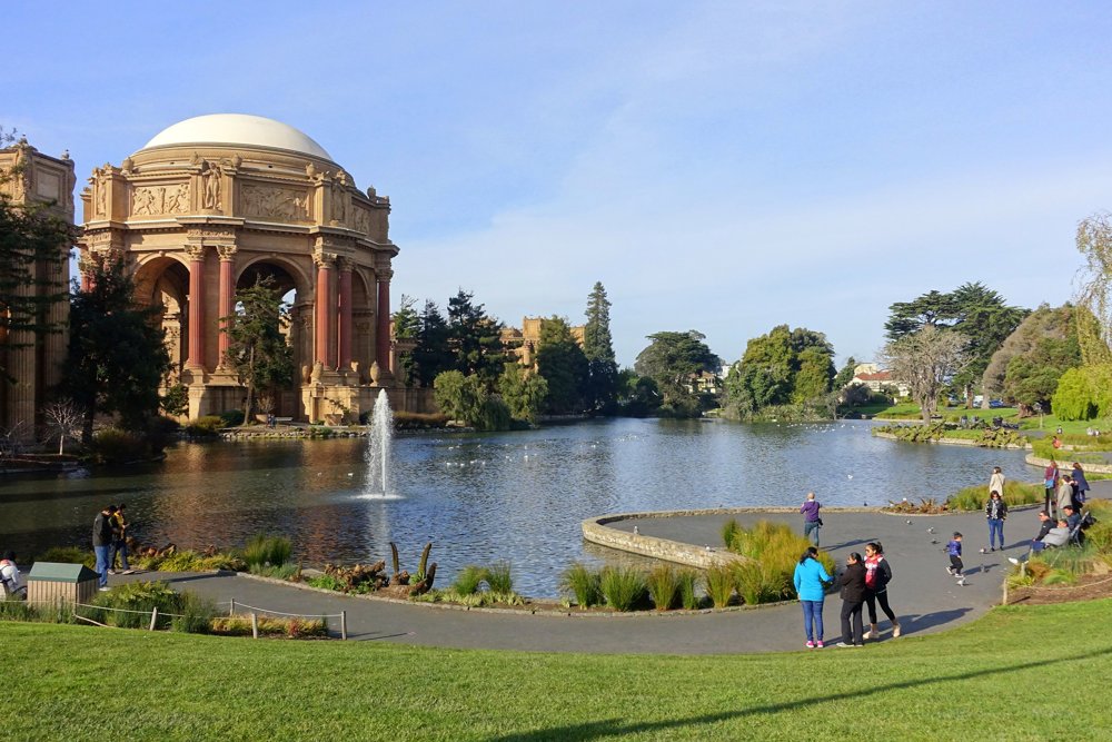
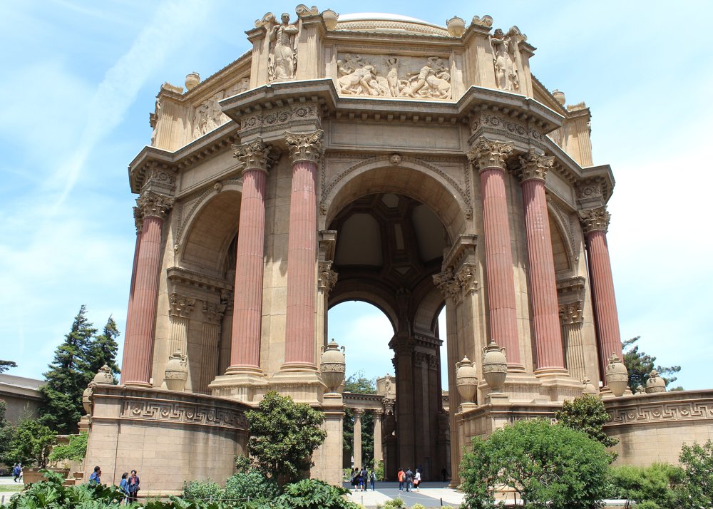
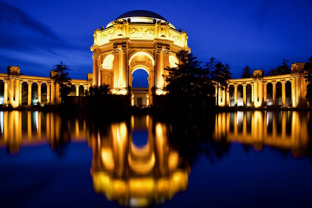
Stand here: East bank of the lagoon, on the path off Baker St between North Point and Bay, the rotunda dead ahead across the water · Open in Maps
The one fair building still standing where it was built. In 1915 you would have been standing in the Palace of Education's forecourt, looking west over the lagoon exactly as fairgoers did.
Then: The Palace of Fine Arts across its lagoon, 1915Today
Stand here: Inside the colonnade on the lagoon side, starting at the south end and walking north toward the rotunda · Open in Maps
Maybeck's colonnade, rebuilt in concrete 1964–67 on the original plan. The weeping figures on the boxes atop the columns look inward, as they did in 1915.
Then: The Palace of Fine Arts across its lagoon, 1915
Stand here: Anywhere on the palace: the rotunda drum, column bases, the coffers, the lagoon railings, the planting boxes · Open in Maps
The fair was the first exposition with a single color scheme. Jules Guérin chose every color, from the old-ivory travertine of the walls to the French green of the lattices and the pink of the flagpoles. The rebuilt palace still wears his travertine tint, the closest surviving swatch.
Then: The Palace of Fine Arts across its lagoon, 1915Today
Stand here: Same spot as pfa-across-lagoon · Open in Maps
Ryan floodlit the palace in 1915 as part of the illumination. The modern lighting is the closest thing in the city to the fair's look, we dissolve from this into the 3D night.
Then: The Palace of Fine Arts across its lagoon, 1915
Stand here: Middle of Marina Green, near the flagpole · Open in Maps
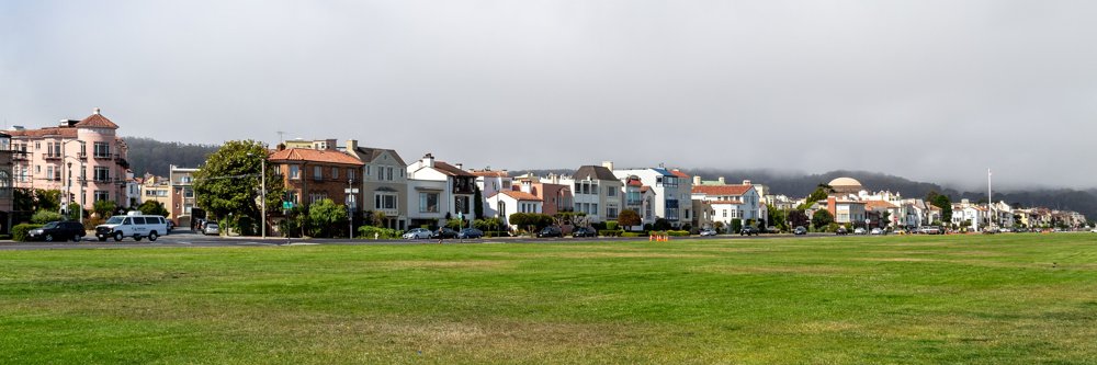
The fair's North Gardens and esplanade. Crowds stood here for the auto races, Art Smith's flights and the fireworks. Behind you, where the houses are, rose the north fronts of the palaces.
Stand here: Out on the breakwater east of the St. Francis Yacht Club, toward the Wave Organ · Open in Maps
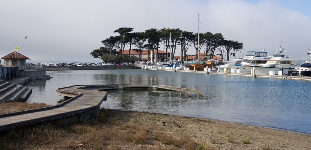
Forty-eight searchlights stood on this mole in 1915 and swept the sky over the fair every night. From here the whole illuminated city faced you across the harbor.
Then: The Scintillator's beams over the exposition, on a period postcard
Stand here: Yacht Rd at Old Mason St, east end of Crissy Field · Open in Maps
The foreign pavilions stood along here from about Lyon St westward. A centennial pairing puts the Netherlands pavilion near this corner; France (the Legion of Honor's original) and Japan were up the slope to the south-west.
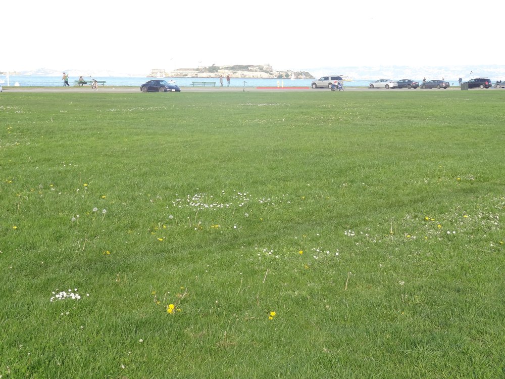
The racetrack oval, the Crissy Field airfield lawn
Stand here: The middle of the grass airfield at Crissy Field (walk in from the promenade) · Open in Maps
The fair's racetrack, drill ground and polo field. The Army chose the site for an airfield in 1919, and the Park Service says the oval can still be traced at the edge of the grass.
Then: Overhead view of the racetrack with the athletic and polo fields
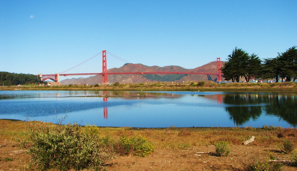
Stand here: The boardwalk and footbridge over the marsh at the east end of Crissy Field, off Mason St by the Crissy Field Center · Open in Maps
The fair filled this marsh for its live-stock pens and drill ground; the Army kept it filled for the airfield. In 2001 the Presidio Trust and the Parks Conservancy dug the marsh out again, the one piece of the fairground returned to what it was before 1912.
Stand here: West end of the grass airfield at Crissy Field, by the old hangars on Mason St · Open in Maps
The fair's race track and polo field, then the Army's runway from 1921, now the lawn. Everything in the distance, the palace dome, the Marina's roofs, was the Exposition.
S28
The 1921 hangars on Mason Street
Stand here: Mason St at Crissy Field, the row of restored Army hangars · Open in Maps
Built for the air station that replaced the fair's race track. The Presidio Trust restored them; the fair's live-stock pavilion stood a few hundred feet east.
S29
Lyon Street at the Presidio wall
Stand here: Lyon St at Bay St, looking north along the Presidio wall toward the palace · Open in Maps
Lyon St was the seam between the city's land and the Army's. The fair ran straight across it, palace to the east, the nations to the west.
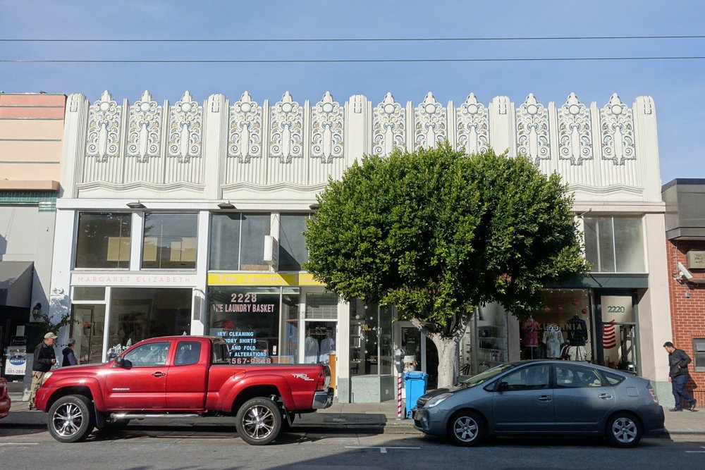
Chestnut at Fillmore, the Fillmore gate and the start of the Zone
Stand here: Chestnut St at Fillmore, looking east along Chestnut · Open in Maps
The Fillmore Street gate. East of here the Zone, the fair's 3,000-ft amusement street, ran along the line of Chestnut. Today it is still the neighborhood's busiest street.
Chestnut at Divisadero, the south-west corner of the palaces
Stand here: Chestnut St at Divisadero, south-east corner, looking north up Divisadero · Open in Maps
A block north of here the south wall of the Palace of Education began; the Palace of Horticulture's glass dome rose to the west across the gardens. Divisadero ran straight into the fair's south fence.
S07
Walking Chestnut from Divisadero to Fillmore
Stand here: The north sidewalk of Chestnut, Divisadero to Fillmore, six blocks · Open in Maps
The whole south front of the walled city stood one block north of this sidewalk for its entire length: Education, Liberal Arts, the Tower of Jewels over the gate at Scott, Manufactures, Varied Industries, then the Zone beyond Fillmore.
Stand here: Chestnut St at Scott, south-west corner, looking north-east across the intersection · Open in Maps
The main gate. Turnstiles, the South Gardens and the Fountain of Energy a block in, the Tower of Jewels straddling the axis beyond. This is the corner every 1915 streetcar map pointed to.
S09
Chestnut at Fillmore, the Zone's gate
Stand here: Chestnut St at Fillmore, south-east corner, looking north up Fillmore · Open in Maps
The Fillmore Street entrance, with the Zone starting a block north on the right · John Barry's 'Zone shrieking at you at one side'. The Palace of Varied Industries closed the view to the left.
S10
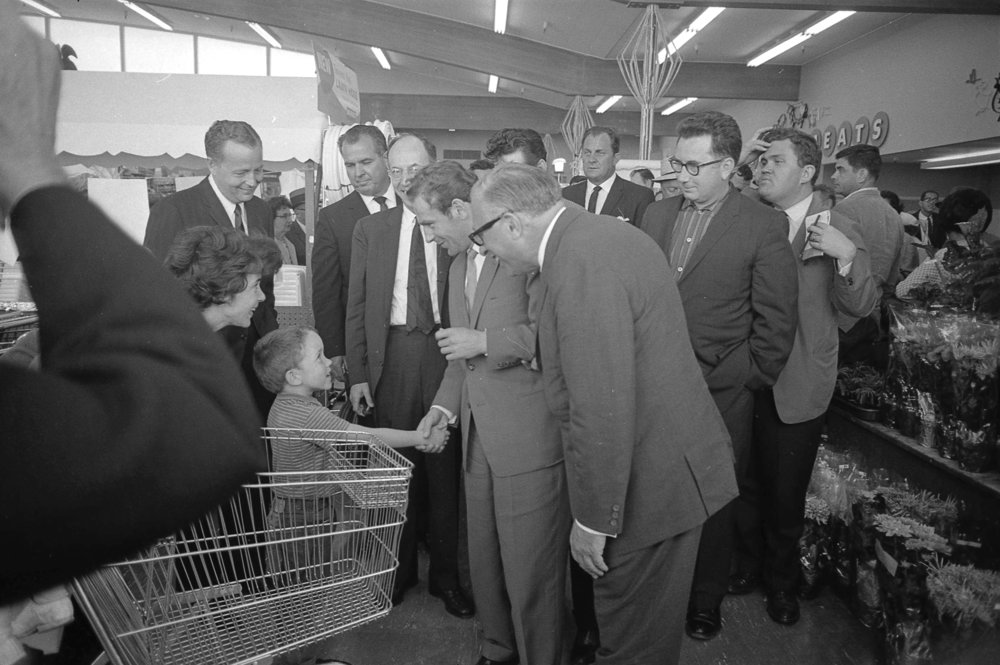
The Marina Safeway
Stand here: Marina Safeway, 15 Marina Blvd, from the lot, and from the Marina Green side looking back at the store · Open in Maps
The store stands on the esplanade at the north-east corner of the Palace of Machinery, on made land; the aviation field where Beachey and Art Smith flew lay just beyond it along the water.
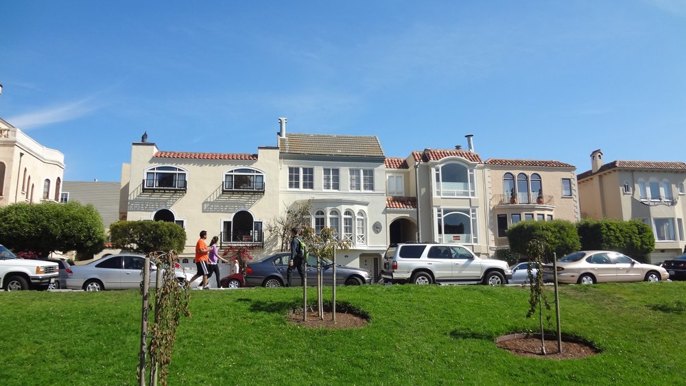
The Marina's 1920s houses on the fairground blocks
Stand here: Beach St or North Point St between Divisadero and Scott, any block of the stucco rows; also Marina Blvd's row facing the Green · Open in Maps
These blocks were the Court of the Four Seasons and the Palace of Liberal Arts. The fair came down in 1916; the streets were cut across the fill in the early 1920s and the Mediterranean-revival houses and apartments went up through the 1920s and 30s.
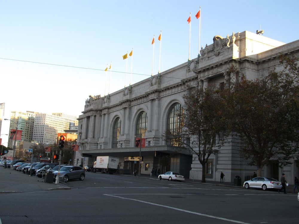
Stand here: Civic Center Plaza, facing the auditorium across Grove St (City Hall at your back) · Open in Maps
The one large permanent building the Exposition put up. Opened with a masked ball January 9, 1915; Festival Hall's organ was moved here in 1917; the 1920 Democratic convention met here.
Then: The Exposition Auditorium as published in 1914–15Today
Stand here: Lincoln Park, the Court of Honor in front of the museum, with The Thinker · Open in Maps
A permanent copy of the fair's French Pavilion, opened Armistice Day 1924. Rodin's Thinker greeted visitors at the 1915 pavilion; it sits in the courtyard now.
The Old Mint, where the Exposition coins were struck
Stand here: Fifth St at Mission, looking at the Mint's Fifth St front · Open in Maps
The 1915 commemorative coins, including the octagonal $50, were struck at the San Francisco Mint, this building, the Granite Lady, was the Mint in 1915.
S50
The Ferry Building
Stand here: Foot of Market St, from the Embarcadero plaza · Open in Maps
Most of the fair's visitors from across the Bay arrived here, then rode the streetcars out to Scott and Chestnut.
Aerials (drone)
S37
Dawn orbit of the Palace of Fine Arts
Stand here: Launch from Baker St / the Palace grounds side (San Francisco Recreation and Parks property, film permit and drone authorization required); orbit the rotunda at 150–250 ft · Open in Maps
The one fair building still standing where it was built. Seen from above, the lagoon, colonnade and rotunda are exactly Maybeck's 1915 plan.
Then: The Palace of Fine Arts across its lagoon, 1915Today
Stand here: Launch from the Marina Green side (SF Rec & Park) or a boat; fly north of the seawall over the water at 300–400 ft, looking south over the Marina to Pacific Heights · Open in Maps
Everything in frame from the yacht harbor to Fort Mason and up to Chestnut Street was the Exposition. From this height the grid of the Marina is the fair's ghost.
Stand here: Launch on the Broadway / Lyon St public right-of-way at the top of the steps (city street, not the Presidio, the Presidio wall is the west edge of Lyon and is off limits) · Open in Maps
Keith's own view of the fair: the steps run down to Lyon Street, and Lyon ran straight into the Exposition. The palace, the lagoon and the Bay lie at the bottom.
Then: The Palace of Fine Arts across its lagoon, 1915Today
Stand here: Launch from Scott St (city street) between Chestnut and Marina Blvd; fly the axis at 200–350 ft · Open in Maps
The fair's spine: gate at Chestnut, Tower of Jewels, Court of the Universe, Column of Progress at the water. All of it is under the houses of Scott Street now.
Stand here: Cannot be flown from Fort Mason (national park). Fly from over Aquatic Park's water or from a boat off the Fort Mason piers, at 250–400 ft, looking west along the whole shoreline · Open in Maps
The 1915 panoramas were made from Fort Mason's hill. This is that view with the modern city, and the master dissolve into the 3D overview of the fair.
The 1915 photographs are from the gazetteer; the present-day photographs are by Wikimedia Commons contributors, credited in the film. Stops marked in the film as "shot pending" are being filmed by the production.